The river that made and unmade Nantes, and the island at its centre — from filled-in arms and shipyards to the city's most ambitious quarter.
01 The river that shaped everything — and the island at its heart
The Loire arrives in Nantes having already crossed half of France. By the time it reaches the city, it has widened into something that resists easy description — less a river than a geography, a slow muscular force that over centuries shaped where people settled, how they traded, how they grew rich and, eventually, how they declined. Nantes does not sit beside the Loire so much as inside it: the city has always been as much water as land.
For most of Nantes's history, the Loire split into multiple arms as it moved through the urban fabric, braiding around a cluster of islands. The Île Feydeau — where the slave-trade merchants built their elaborate hôtels particuliers — was once a true island, surrounded by water. So was much of what is now the city centre. Through the nineteenth and twentieth centuries, those arms were progressively filled in, the islands absorbed into the mainland, the waterfront rationalised and then, with the collapse of the city's shipbuilding industry in the 1980s, effectively abandoned. What had been the source of Nantes's wealth became its most conspicuous wound.
Nantes does not sit beside the Loire so much as inside it — the city has always been as much water as land.
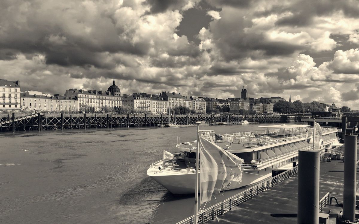
The Loire itself never disappeared, of course. It runs wide and tidal through the southern edge of the city, pale and silver on overcast days, unexpectedly luminous when the Atlantic light comes in from the west. But for decades it turned its back on the city — or the city turned its back on the Loire, which amounts to the same thing. Industrial infrastructure, dockyards, warehouses: the riverbank was working infrastructure, not public space, and when the work stopped, desolation followed.
02 Reinvention on the island
The Île de Nantes — the large central island formed by the two main channels — was the epicentre of all this. The Dubigeon shipyards on the island's western tip had built many ships for the French merchant fleet of the twentieth century; when the last ships left and the cranes fell quiet, the island became a vast and strange vacancy. Rather than sell it off or bulldoze it into anonymity, Nantes made a different decision. From the early 2000s, guided by the architects Alexandre Chemetoff and Jean-Louis Berthomieu, the island was redesigned not as a clean-slate development but as a living palimpsest — old structures kept, new ones inserted, the memory of industry preserved in the landscape.
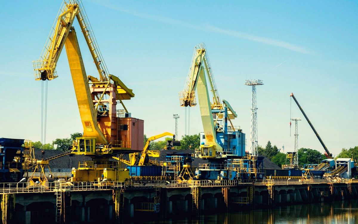
The enormous gantry cranes on the island's western end were retained as monuments, standing sentinel over the Loire. The former factory sheds became cultural venues, studios and schools — the Nantes School of Architecture (ENSA Nantes) occupies a spectacular industrial building at the water's edge. The Machines de l'île arrived in the old workshops, bringing with them the Great Elephant and a whole mechanical mythology rooted equally in Jules Verne and in the island's own shipbuilding past. What had been a wound became a quarter of extraordinary ambition: genuinely mixed-use, still evolving, free of the sterile quality that blights many European waterfront regenerations.
03 The river today
Walking the Loire's banks now — north shore or south, quai de la Fosse or the island's embankments — you feel a city that has genuinely reconnected with its river, even if the relationship remains complicated. The quays are busy with cyclists and pedestrians in a way that would have been unimaginable before the millennium. There are beaches in summer, informal and popular, nothing like the manicured events of Paris Plages but all the more likeable for it. Cafés and restaurants have opened facing the water, and the Buren rings — the artist Daniel Buren's eighteen rings installed along the Loire's edge as part of Le Voyage à Nantes — mark the course of the water with a kind of ceremonial quiet.
Yet the Loire also demands humility. It floods, sometimes seriously. It is tidal this far inland, and the tides shift the mood of the banks visibly, exposing mudflats and reed beds that feel surprisingly wild for a European city of nearly a million people. There is an estuary quality to it — the sense that the sea is not far, that the river is already preparing to become something larger. Nantes sits at roughly fifty kilometres from Saint-Nazaire and the Atlantic; you feel that proximity even in the city centre, in the quality of the light and the westerly wind.
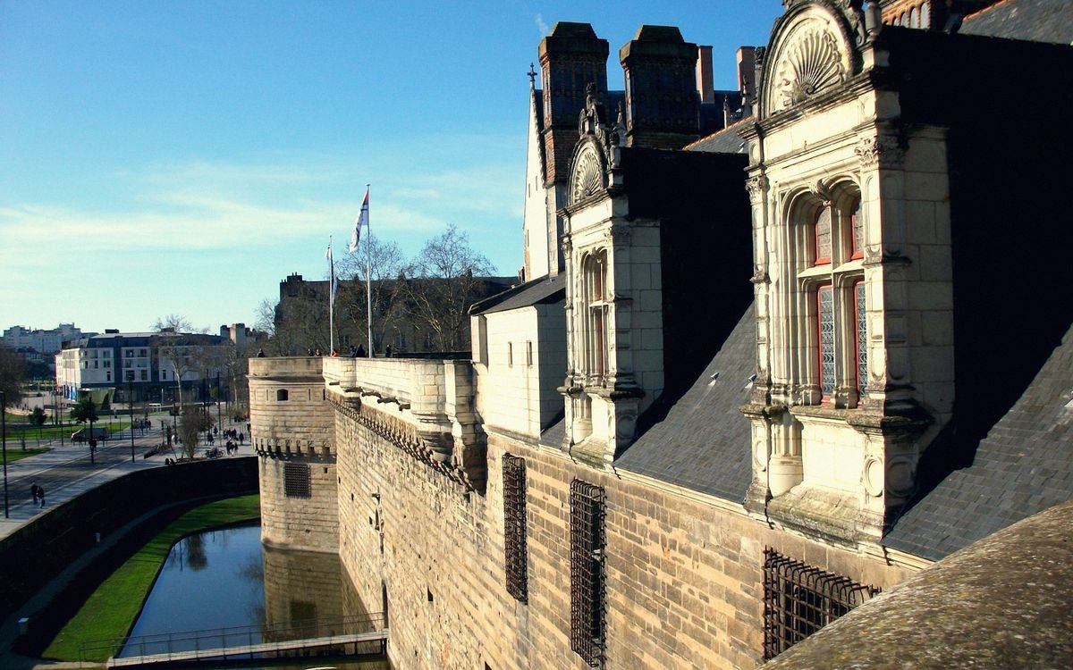
The Loire's history in Nantes is also its most difficult history. The city's eighteenth-century wealth was built substantially on the slave trade, and the river was the mechanism of that trade: ships departed from these quays, returned with colonial goods, generated the fortunes that built the merchant houses of the Île Feydeau. That past is not hidden — the city's historical museum in the Château des Ducs de Bretagne addresses it directly — but it is worth holding alongside every celebration of the river's beauty and the island's reinvention.
What Nantes has done with the Loire and the Île de Nantes is remarkable: a post-industrial waterfront transformed into some of the most genuinely interesting urban space in France. The river made this city. It unmade it for a generation. And now, cautiously and creatively, Nantes is learning to live beside it again.
Time How it happened
- 18th centuryNantes peak as slave-trade and colonial port, Île Feydeau merchant quarter built
- 19th–20th centuryLoire arms filled in, islands absorbed into mainland
- 1980scollapse of Nantes shipbuilding industry, island abandoned
- Early 2000smasterplan for Île de Nantes launched (Chemetoff/Berthomieu)
- 2000s–presentprogressive reconnection of city to riverbanks; Machines de l'île, ENSA, cultural venues open
Who The people
Alexandre Chemetoff
Architect
Led the Île de Nantes masterplan: old structures kept, new ones inserted.
Daniel Buren
Artist
Created the eighteen rings along the Loire's edge that mark the water with a ceremonial quiet.